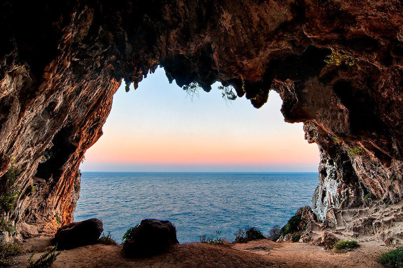
The landscape that frames the Ciolo canal is a succession of monuments of the peasant culture, witnesses of a hard struggle between man and stone, with the former committed to free cultivable spaces even where the latter seemed to prevail. Cosimo De Giorgi, a local historian who lived in the nineteenth century, wrote that “it is necessary to keep squirrel gymnastics to observe the deep and picturesque ravines of Ciolo and Novaglie and to visit the caves of Prazziche, very raised on the sea, in front of the immense sea of Leuca “. From the small road that from the village of Mucurune slopes gently towards the sea, we cross a tratturo that branches between high cliffs and vertical rock walls in which there are numerous cavities, frequented since the Middle Paleolithic. Arrived at the bridge Ciolo, we proceed in a north-easterly direction along a path that winds through a landscape suspended between land and sea, where the eye ranges from Punta Palascìa (near Otranto) to the mountain range of Acrocerauni (Albania) and parallelepiped profile of the island of Othonoi (Greece). Between a pajara and a mantagnata, between a liama and a paralopa wall, one arrives in front of three shelters that open onto the cliff exposed to the east. The sea, which is now 30 meters lower, once invaded these environments with arrogance. Wherever you put your foot on, you can not help but walk on minute flints of the upper Palaeolithic, fossil fragments of all kinds and shells of bivalve molluscs. The lithic industry and fauna, typical of a cold climate, suggest a filling of the surface of the cavities at the end of the Würm glaciation, about 10 thousand years ago, when the sea in regression would have exposed a coastal strip, currently submarine, on which sand dunes would have formed in front of the cave. After 500 meters on a narrow strip of coast, where you can smell thyme, oregano and chives, you reach Marina di Novaglie, at the end of a path about 3 km long.
Trekking: The Stone Landscape of the Path between Ciolo and Cipolliane’s Caves

